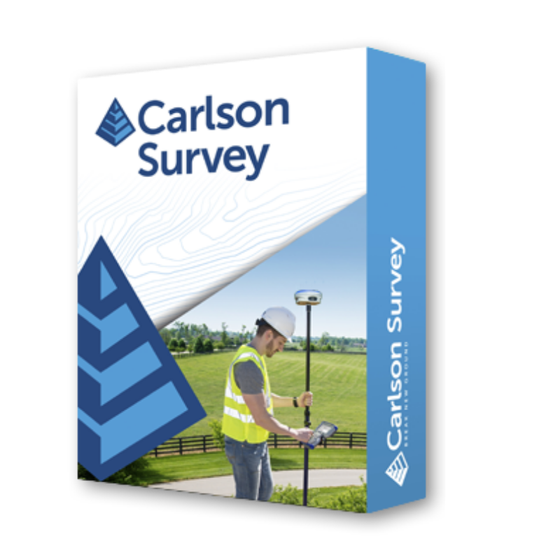
Carlson Survey
Overview
Carlson Survey is designed to complement land surveying operations and provides a variety of survey features to process data from surface modeling to Least Squares Network Adjustment. Users work seamlessly between the office and the field by utilizing company-wide design styles for ease of use and efficiency.
Choose your platform – Carlson Survey works on:
- IntelliCAD® (built-in)
- AutoCAD® OEM (built-in)
- AutoCAD® (sold separately)
Product Improvements by Year: 2026 | 2025 | 2024 | 2023 | 2022 | 2021 | Previous Years
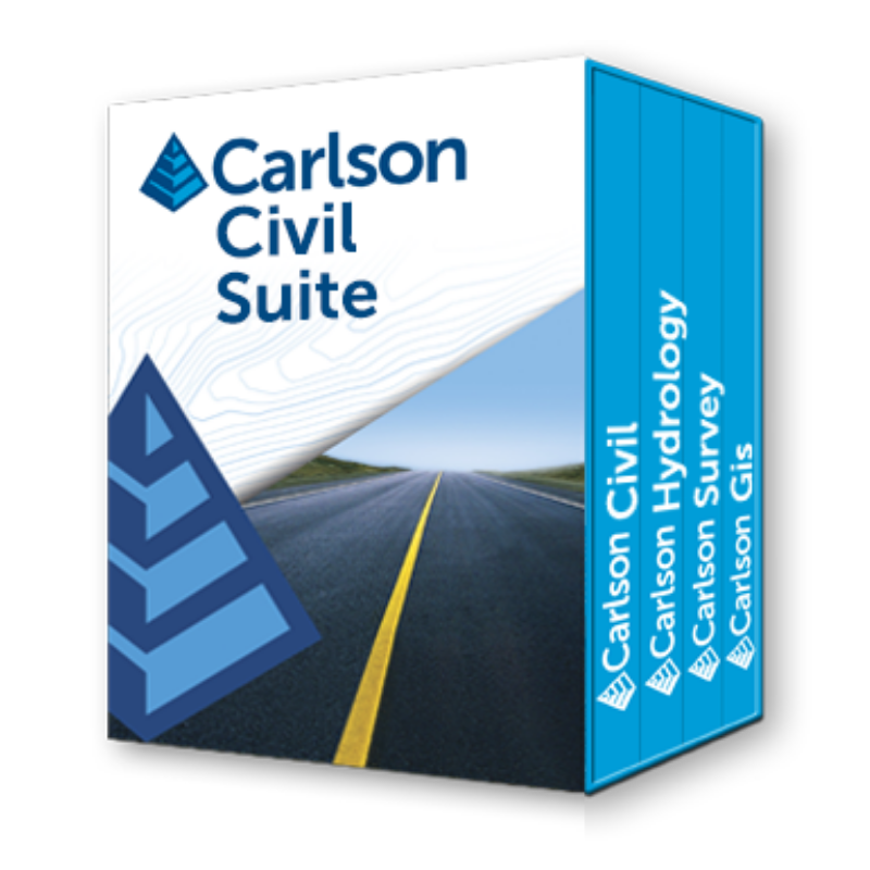
Carlson Civil Suite
Overview
Carlson Software’s Civil Suite is a powerful software bundle made up of: Carlson Survey, Carlson Civil, Carlson Hydrology, and Carlson GIS. These four civil-related modular programs combined, with full LandXML support, allow you to create all of your deliverables at a fraction of the long-term costs compared to other software alternatives.
Civil Design, Road and Site Design Made Easy
Carlson Civil provides the most robust automation and ease-of-use of any civil design solution available today, and it does dynamic updating without a single custom object. Carlson Civil’s wide selection of “power” tools enable users to increase their productivity as they create better road, site, and subdivision designs in less time.
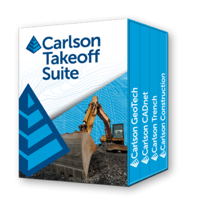
Carlson Takeoff
Estimate Volumes and Prepare Jobs for Construction
Carlson Takeoff is available in two configurations: Takeoff OEM and Takeoff Suite. Takeoff OEM includes an AutoCAD® engine built-in and has all of the same ingredients as the Takeoff Suite, plus the addition of the Carlson Point Cloud program for working with point cloud files from Lidar or photogrammetry sources. The Takeoff Suite works on AutoCAD® sold separately, or with IntelliCAD® built-in. The Takeoff Suite is comprised of the modules Carlson CADnet, Carlson Trench, and Carlson GeoTech combined with Carlson Construction. All are fully integrated with Carlson Civil and Hydrology to meet the variety of customers’ needs.
CAD Advantage
Carlson Takeoff is the only estimating software built on either the AutoCAD or IntelliCAD engine. Working in the DWG environment natively gives Carlson Takeoff users a distinct “CAD Advantage” when estimating from an Engineer’s electronic files.
Carlson Office Software
Data Collectors
- Home
- PRODUCT LINES
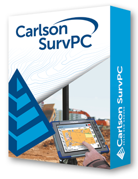
Carlson SurvPC SurvPC SurvPC
There’s a reason surveyors make Carlson their first choice in data collection software.
SurvPC (for Windows) and SurvCE (for Windows Mobile) combine advanced functionality, ease-of-use, and cutting-edge features with excellent service and award-winning technical support. Both SurvPC and SurvCE support the widest range of popular and newly released RTK GPS and conventional and robotic total stations, putting the power of Carlson’s in-field coordinate geometry at your fingertips. Learn more about the latest release, SurvPC 7 here! Learn about the Carlson SkyNet RTN national RTK corrections network, available exclusively to Carlson SurvPC and Layout customers here!Carlson Layout Layout Layout
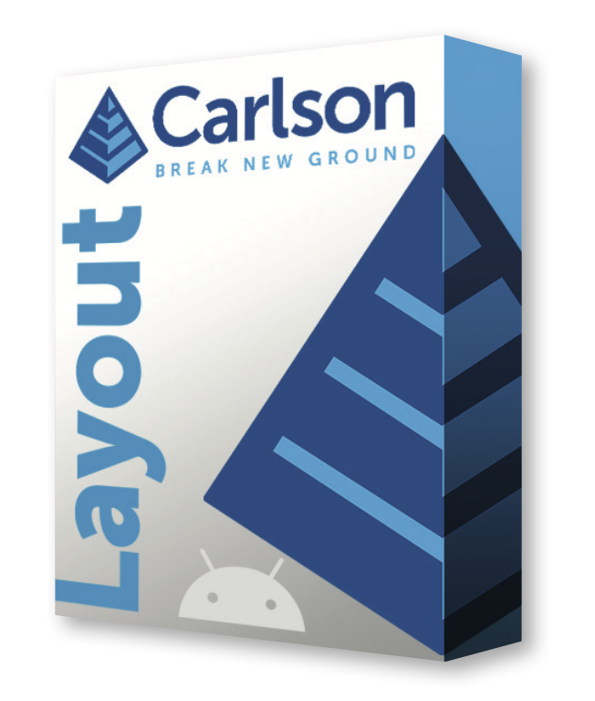
Overview
Field software for fast, simple, efficient site layout
The Android-based Carlson Layout provides an efficient, affordable, and easy-to-use site layout solution, backed with excellent service and award-winning technical support.
Unlike any other available solution, Layout supports the widest range of popular and newly released RTK GPS and conventional and robotic total stations, putting the power of Carlson’s in-field coordinate geometry at your fingertips.
Runs on Android
Carlson Layout runs on the Android platform, allowing stability and performance while opening a wide range of hardware options to users.
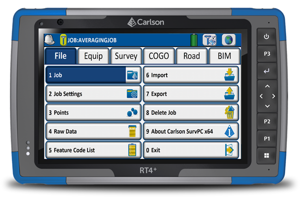
Carlson RT4+ RT4+ RT4+
Next Generation Ruggedized Tablet
The Carlson RT4+ is designed for surveying, stakeout, construction layout, and GIS mapping and is bundled with Carlson SurvPC – the Windows-based data collection program. The RT4+ can also be used in the office with any Carlson office software. With Windows 11, 16GB of RAM and 256 GB of storage, you’ll have the power to collect and analyze your data faster and more efficiently than ever before.
Performance
• Powerful Intel N200 3.7GHz processor
• Now with 16GB RAM & 256GB flash storage
• Faster display with Intel’s Gen12 UHD graphics
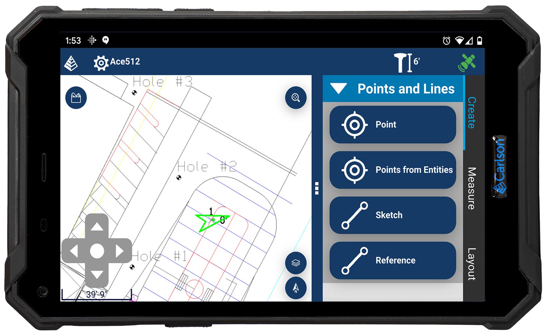
Carlson RTA RTA RTA
Rugged Android Based Tablet
The Carlson RTA is a ruggedized Android™ based tablet designed for stake out, surveying, construction layout and GIS mapping. Bundled with Carlson’s Layout, E-Connect, or Carlson Scan field software, the RTA’s rugged construction, fast performance, and exceptional outdoor screen performance make it the clear choice for efficiency in the field.
Performance
• Powerful Hyper-Engine 8-Core processor and 4K GPU
• 12 GB RAM & 256 GB flash storage

Carlson RT5+ RT5+ RT5+
Overview
The Carlson RT5+ is a fast, ruggedized Windows® data collector designed for surveying, stake-out, construction layout and GIS mapping, and is bundled with Carlson SurvPC7 – the Windows-based data collection program. Rugged and field-ready, the RT5+ includes a 3-year NO FAULT warranty*. The RT5+ can also run SurvPC7 with Esri for live access to view and update an ArcGIS Online database in the field. With 16 GB of RAM, 512 GB of storage, you can collect and analyze your data quicker than ever before.
Carlson Data Collectors
Drones
- Home
- PRODUCT LINES
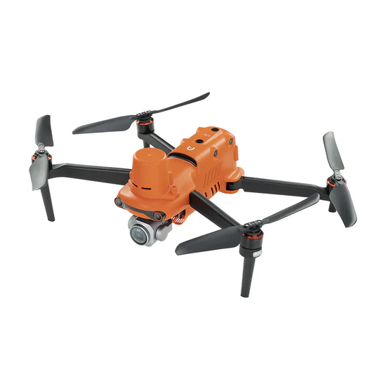
EVO II Pro RTK UAV RTK UAV RTK UAV
Overview
- Precision RTK module, supports PPK and time synchronization
- 1″ CMOS sensor capable of 6k Ultra HD Videos
- Adjustable aperture range of f2.8 to f11 and a maximum ISO of 12,800
- 10-bit A-log post-production flexibility
- Rectangular or Polygon Missions
- 360° obstacle avoidance with 19 groups of sensors
- Industry-leading 38 minutes flight time
- Transmission range of 9 miles
- 45 mph max speed