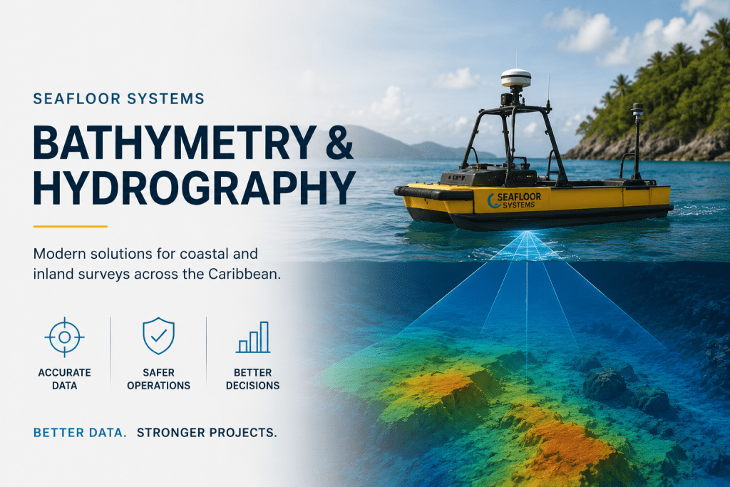
Seafloor Systems Bathymetry & Hydrography Solutions for Modern Marine Surveys
As coastal infrastructure, environmental monitoring, and marine development projects continue expanding across Puerto Rico and the Caribbean, organizations require more advanced technologies to improve hydrographic accuracy, operational efficiency, and marine data collection workflows.
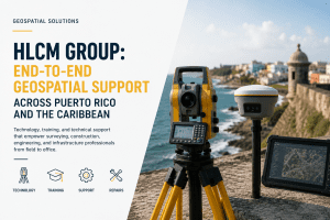
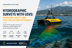
HLCM Group supports modern hydrographic operations through its partnership with Seafloor Systems, delivering advanced bathymetry solutions and hydrographic technologies designed for coastal mapping, sonar surveys, inland water analysis, and marine infrastructure projects.
These technologies help organizations improve underwater mapping accuracy, streamline field operations, and support more reliable marine surveying workflows across demanding environments.
Modern Bathymetry Solutions for Coastal & Inland Survey Operations
Hydrographic projects require accurate underwater terrain data to support environmental studies, dredging operations, reservoir analysis, marine construction, and coastal infrastructure planning.
Seafloor Systems technologies support high-quality bathymetric data collection workflows, helping organizations improve survey efficiency while reducing operational complexity in marine and inland environments.
Combined with HLCM Group’s geospatial infrastructure expertise, organizations can strengthen hydrographic workflows from planning and equipment selection to final project deliverables.
These workflows integrate effectively with broader geospatial product lines and infrastructure technologies.
Advanced Hydrography Technology & Sonar Mapping Workflows
Modern marine operations increasingly rely on advanced hydrography technology and sonar-based systems to improve underwater visibility, support safer navigation, and optimize marine infrastructure planning.
Seafloor Systems solutions support practical field applications for:
- Bathymetric surveying
- Reservoir analysis
- Coastal mapping projects
- Marine infrastructure surveys
- Environmental monitoring
- Underwater terrain modeling
Integrated with technologies such as Trimble GNSS systems, RTK positioning networks, and reality capture solutions, hydrographic teams can improve operational accuracy and field coordination.
Supporting Coastal Mapping Across Puerto Rico and the Caribbean
As infrastructure and environmental projects continue expanding throughout the Caribbean, organizations require reliable technologies for marine surveying, shoreline monitoring, and underwater mapping operations.
HLCM Group helps organizations evaluate hydrographic workflows and specialized equipment solutions designed to support safer and more efficient coastal mapping operations across Puerto Rico and the Caribbean.
These technologies support:
- Coastal infrastructure projects
- Marine environmental analysis
- Harbor and port surveys
- Reservoir mapping operations
- Bathymetric engineering workflows
- Marine data acquisition projects
Integrated Marine & Geospatial Technologies
Seafloor Systems solutions become even more powerful when integrated into connected geospatial ecosystems designed to improve operational intelligence and marine infrastructure planning.
Integrated technologies may include:
- GNSS positioning systems
- RTK correction workflows
- Sonar mapping systems
- Marine data collection software
- Hydrographic survey technologies
- Coastal monitoring workflows
Book a Hydrography Assessment with HLCM Group
Discover how Seafloor Systems bathymetry and hydrography technologies can improve marine data collection, coastal mapping accuracy, and underwater survey workflows across Puerto Rico and the Caribbean.