VRS RTK Corrections for Faster & More Accurate GNSS Workflows
As surveying, construction, and infrastructure projects continue growing across Puerto Rico and the Caribbean, organizations require positioning technologies capable of delivering consistent accuracy while improving operational efficiency in the field.
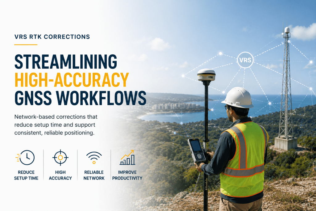
HLCM Group supports modern geospatial operations through advanced VRS RTK correction services designed to streamline GNSS workflows, reduce setup time, and improve high-accuracy positioning across demanding environments.
By leveraging GNSS correction network technologies, organizations can reduce the need for daily base station deployment while maintaining reliable real-time positioning performance for surveying and construction operations.
Improving Surveying Efficiency Through VRS RTK Corrections
Modern field operations require technologies that improve productivity without compromising positional accuracy. Traditional workflows involving manual base station setup can increase operational complexity and reduce field efficiency.
VRS RTK corrections simplify these workflows by delivering network-based positioning corrections that support faster deployment and more connected surveying operations.
Integrated with Trimble GNSS systems and advanced geospatial positioning technologies, organizations can improve operational consistency and reduce unnecessary downtime.
High-Accuracy GNSS Positioning for Construction & Infrastructure Projects
Construction and infrastructure teams increasingly depend on high accuracy GNSS workflows to support layout operations, engineering surveys, machine control systems, and infrastructure positioning.
VRS RTK technologies support:
- Real-time positioning workflows
- Construction site positioning
- Survey-grade GNSS operations
- Infrastructure mapping projects
- Engineering surveying workflows
- Connected geospatial operations
These technologies help organizations improve field coordination, reduce setup delays, and support more efficient project execution.
Connected GNSS Networks for Smarter Field Operations
Modern geospatial projects increasingly rely on connected infrastructure technologies capable of supporting scalable and intelligent field operations.
HLCM Group helps organizations implement RTK positioning services aligned with existing GNSS equipment, field software platforms, and operational workflows.
Integrated technologies may include:
- VRS correction networks
- GNSS receivers
- Field surveying software
- RTK-enabled construction systems
- Machine control technologies
- Infrastructure positioning solutions
Supporting Surveying Operations Across Puerto Rico and the Caribbean
Organizations managing surveying, engineering, and infrastructure operations require correction technologies capable of supporting operational scalability and positioning reliability.
HLCM Group provides guidance for organizations seeking to improve field productivity through connected GNSS workflows and modern RTK correction services across Puerto Rico and the Caribbean.
These workflows support:
- Construction surveying
- Engineering positioning
- Infrastructure development projects
- Geospatial mapping operations
- Utility positioning workflows
- High-volume field operations
Request a VRS RTK Quote with HLCM Group
Discover how VRS RTK correction services can improve positioning accuracy, streamline field operations, and support high-efficiency GNSS workflows across Puerto Rico and the Caribbean.