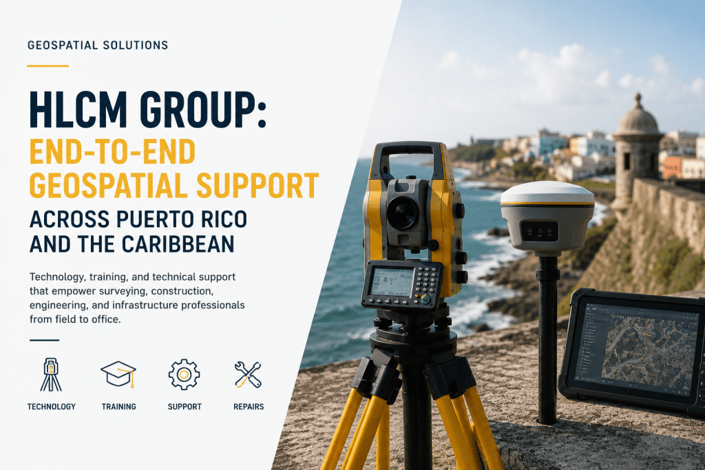
HLCM Group: Complete Geospatial Solutions Across Puerto Rico and the Caribbean
Successful surveying, engineering, and infrastructure projects require more than advanced equipment—they require a trusted technology partner capable of supporting every stage of the workflow. From planning and field data collection to office processing, technical support, and long-term maintenance, organizations need solutions that improve productivity while reducing operational complexity.
HLCM Group provides integrated geospatial solutions across Puerto Rico and the Caribbean, combining industry-leading technology, certified training, workflow consulting, equipment repairs, and technical support to help organizations maximize project performance from field to office.
Whether supporting land surveying, utility mapping, hydrographic surveys, construction layout, reality capture, or engineering projects, HLCM Group delivers complete technology ecosystems designed around real operational requirements.
A Complete Geospatial Technology Partner
Unlike traditional equipment distributors, HLCM Group works as a long-term technology partner that helps clients select, implement, optimize, and maintain complete surveying workflows.
Our specialists evaluate project requirements before recommending the right combination of hardware, software, positioning technologies, and professional services.
Technology Solutions That Power Modern Surveying
- GNSS positioning systems
- Total Stations
- Reality Capture technologies
- LiDAR mapping solutions
- Drone surveying platforms
- Hydrographic surveying systems
- Ground Penetrating Radar (GPR)
- Utility locating technologies
- Construction layout solutions
- Geospatial software platforms
Strategic Partnerships That Deliver Better Results
HLCM Group partners with globally recognized technology manufacturers to deliver proven solutions for today's most demanding projects.
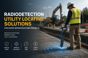
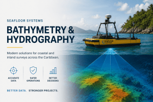
Our portfolio includes Trimble GNSS technologies, Radiodetection utility locating solutions, Bluelight Machines, Seafloor Systems hydrography, IDS GeoRadar, Pix4D reality capture software, and many additional solutions available through our Product Lines.
Professional Services Beyond Equipment Sales
Technology is only part of the solution. HLCM Group provides comprehensive professional services designed to maximize equipment performance and improve long-term operational efficiency.
- Equipment selection consulting
- Workflow implementation
- Certified training
- Technical support
- Equipment diagnostics
- Repairs and maintenance
- Software deployment
- Workflow optimization
- Field-to-office integration
- Project consulting
Supporting Every Stage of the Surveying Workflow
Modern projects require seamless integration between field operations and office production. HLCM Group helps organizations build efficient workflows that connect data collection, processing, quality control, and final deliverables into a single productive ecosystem.
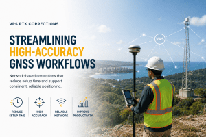
By integrating VRS RTK correction services, Trimble Business Center, GNSS technologies, LiDAR systems, hydrographic solutions, and reality capture software, organizations can improve operational efficiency while reducing project costs.
Serving Puerto Rico and the Caribbean
HLCM Group proudly supports government agencies, engineering firms, surveyors, municipalities, contractors, utility providers, environmental organizations, and infrastructure developers throughout Puerto Rico and the Caribbean.
Our commitment extends beyond equipment delivery—we provide long-term technical partnerships that help organizations adopt modern geospatial technologies with confidence.
Partner with HLCM Group
Whether you're planning your next infrastructure project, expanding surveying capabilities, or modernizing your geospatial workflow, HLCM Group is ready to help you select the right technology, software, and support services for long-term success.