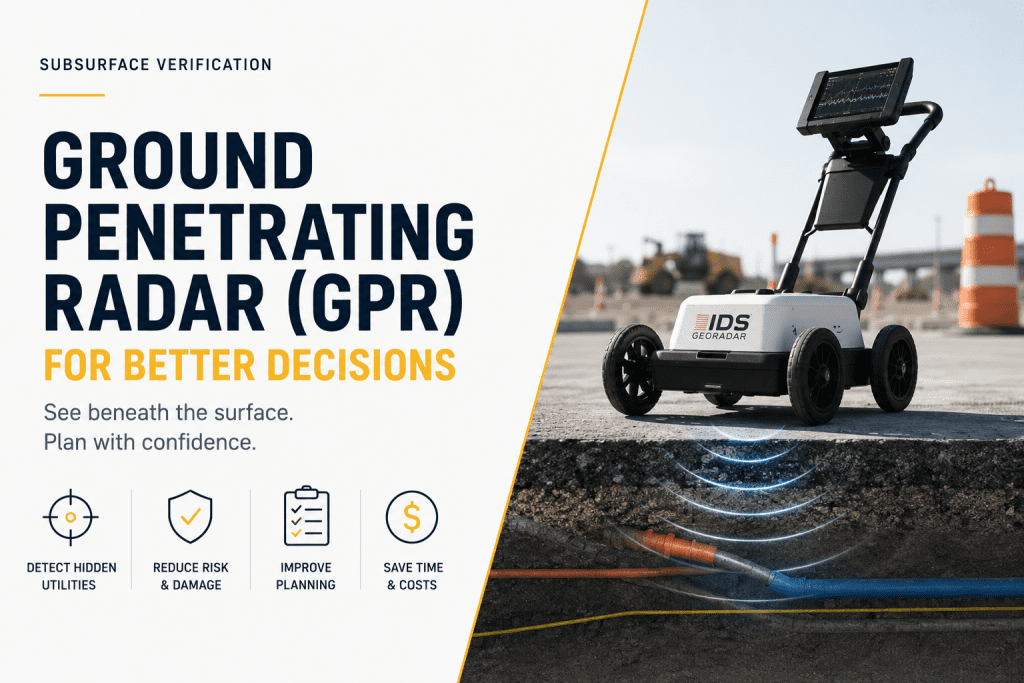
Ground Penetrating Radar (GPR): Improving Subsurface Verification for Smarter Infrastructure Projects
Hidden underground conditions are one of the most common causes of project delays, unexpected costs, and construction risks. Without reliable subsurface information, excavation activities can damage buried infrastructure, interrupt essential services, and create costly project setbacks.
Ground Penetrating Radar (GPR) provides a non-destructive method for identifying underground features before excavation begins, helping engineers, contractors, and utility professionals improve planning accuracy while reducing operational uncertainty.
At HLCM Group, we help organizations across Puerto Rico and the Caribbean implement advanced Ground Penetrating Radar solutions that improve underground utility detection, infrastructure inspections, and project confidence.
What Is Ground Penetrating Radar?
Ground Penetrating Radar (GPR) is an advanced geophysical technology that uses high-frequency electromagnetic waves to detect and visualize underground objects and changes in subsurface conditions without disturbing the ground.
Unlike traditional excavation methods, GPR allows project teams to evaluate underground environments safely before construction begins, reducing unnecessary excavation and minimizing project risk.
Applications of Ground Penetrating Radar
- Underground utility detection
- Subsurface verification
- Concrete inspection
- Roadway investigations
- Bridge inspections
- Airport infrastructure
- Utility mapping
- Construction planning
- Void detection
- Infrastructure rehabilitation
Reducing Construction Risk Through Better Planning
Reliable subsurface information allows project teams to make informed decisions before excavation begins. Early detection of buried utilities and underground anomalies reduces change orders, prevents costly delays, and improves jobsite safety.
Organizations using Ground Penetrating Radar technology can improve project documentation while minimizing operational uncertainty across complex infrastructure projects.
Integrating GPR with HLCM Geospatial Technologies
Ground Penetrating Radar becomes even more powerful when integrated into a complete geospatial workflow.
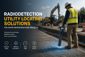
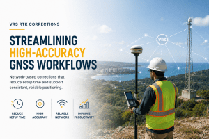
HLCM Group helps organizations combine IDS GeoRadar technologies, Radiodetection utility locating solutions, Trimble GNSS positioning systems, and advanced geospatial technologies to improve underground investigations and infrastructure planning.
Benefits of Modern GPR Workflows
- Improved subsurface visibility
- Reduced excavation risk
- Better underground utility mapping
- Higher planning accuracy
- Improved documentation quality
- Lower construction costs
- Enhanced infrastructure safety
- Faster project execution
Supporting Infrastructure Projects Across Puerto Rico and the Caribbean
Whether your organization manages transportation infrastructure, utilities, municipalities, industrial facilities, or commercial construction projects, HLCM Group provides the expertise needed to implement effective Ground Penetrating Radar workflows.
Our specialists help evaluate operational requirements, recommend the appropriate equipment, and optimize surveying workflows that improve safety, accuracy, and project performance.
Request a GPR Consultation
Discover how Ground Penetrating Radar technology can improve underground utility detection, reduce construction risk, and support better infrastructure decisions for your next project.