Saltar al contenido
Home
About
Product Lines
Trimble
GNSS Systems
Total Stations
Laser Scanning
Mobile Mapping
Data Collectors
Augmented Reality
Digital levels
Field Software
Office software
Cloud software
Monitoring
Real Time Networks
Safety and Forensics
Carlson
Office Software
Data Collectors
Drones
Carlson + Autel Robotics Bundle
EVO II Pro RTK UAV
Seco
Surveying Products
Spectra Precision
Lasers
Automatic Optical Level Solutions
Spectra Geospatial
GNSS
Optical Surveying
Delair
Orthman
Drones and Payloads
Enterprise Drones
Sensors and Payloads
Software
Quantum Systems
Cameras & Sensors
Inspired Flight
Parrot
Autel Robotics
Freefly
WingtraRAY
Yellowscan
IDS GeoRadar
Pix4D
FJDynamics
Seafloor
Hydrographic Instruments
Unmanned Vessels
Radiodetection
Ground Penetrating Radar
Precision and Marker
Bluelight
VRS
FAQs
Blog
X
Contact Us
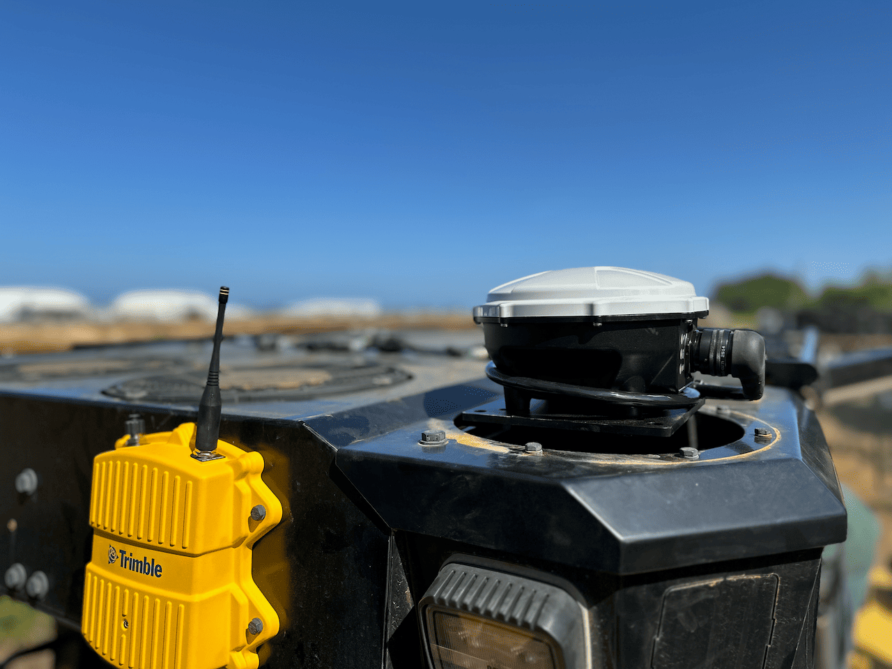
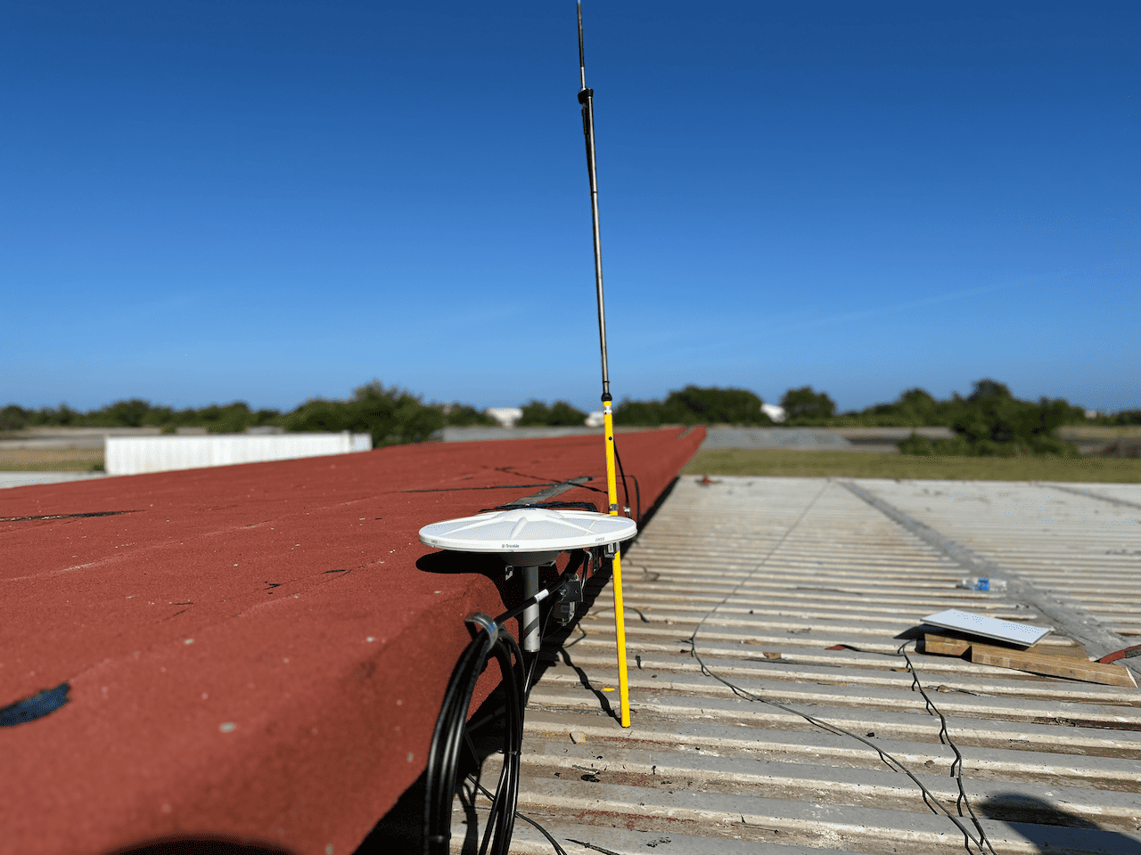
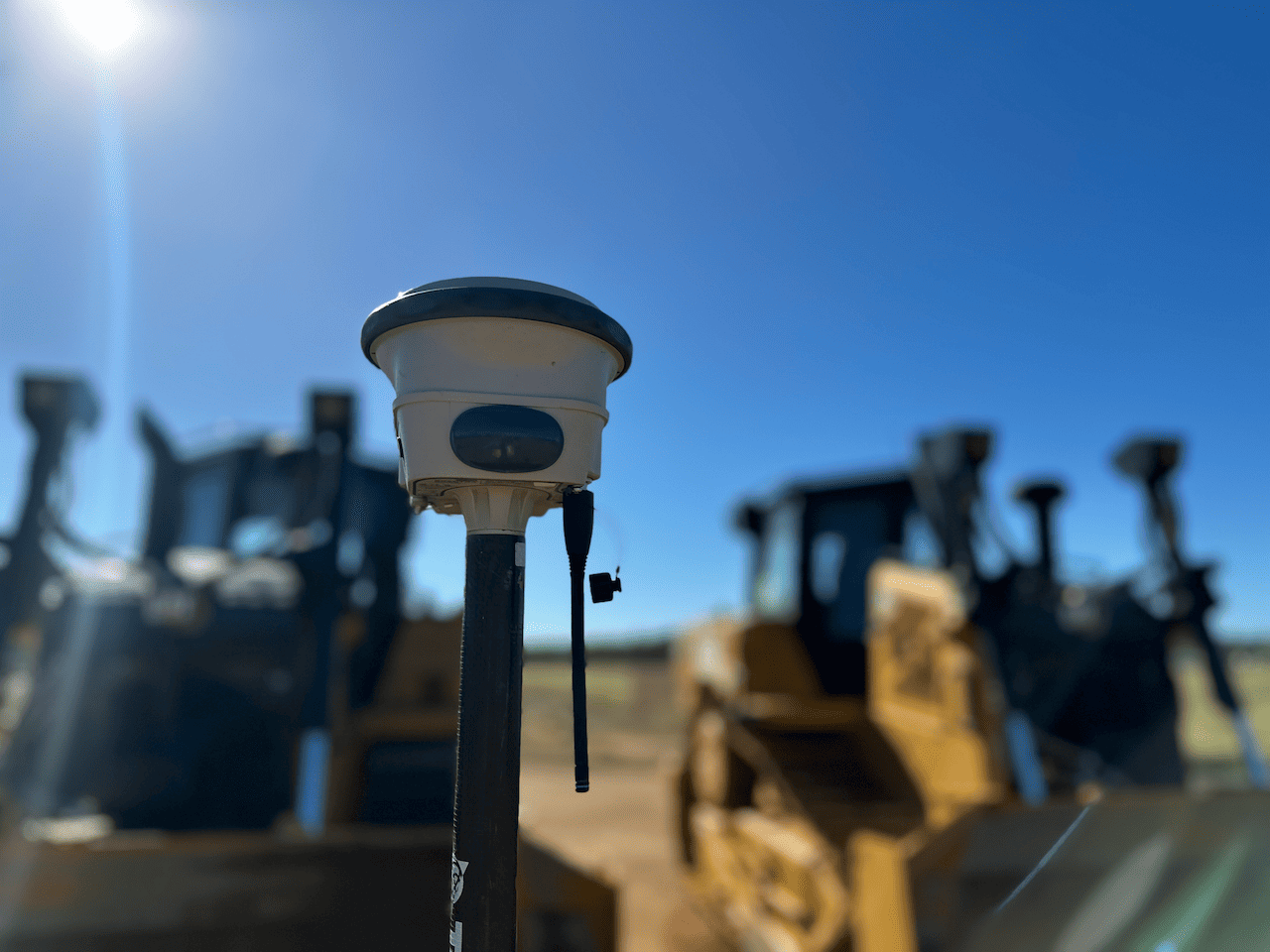
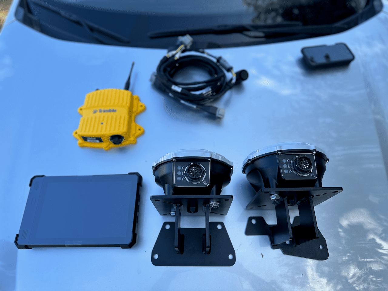
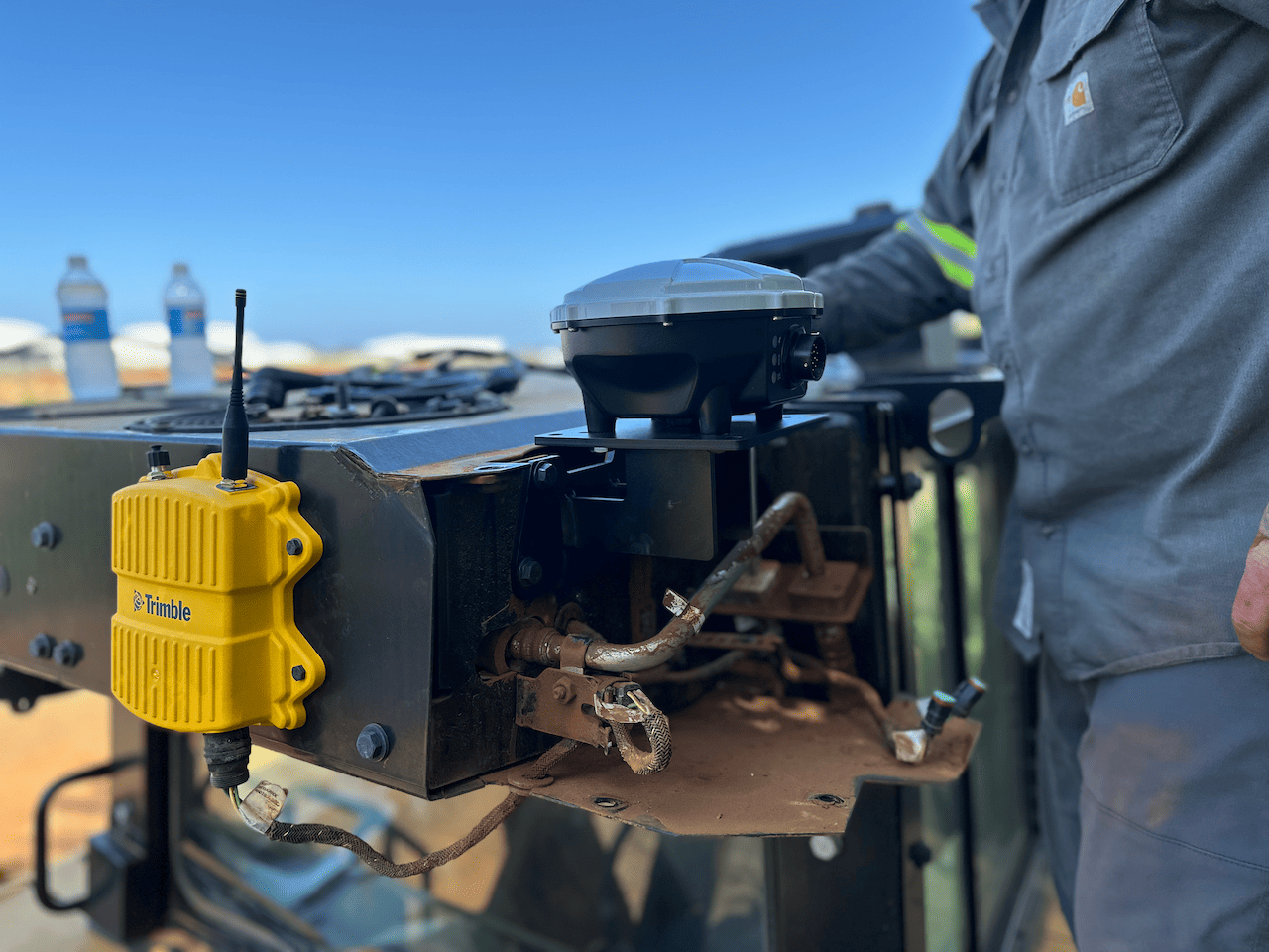
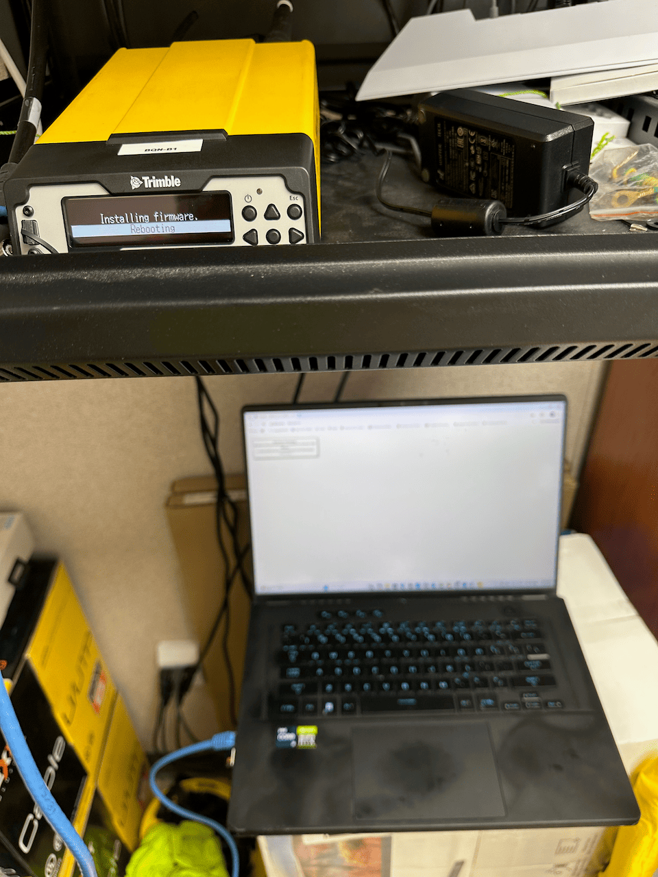
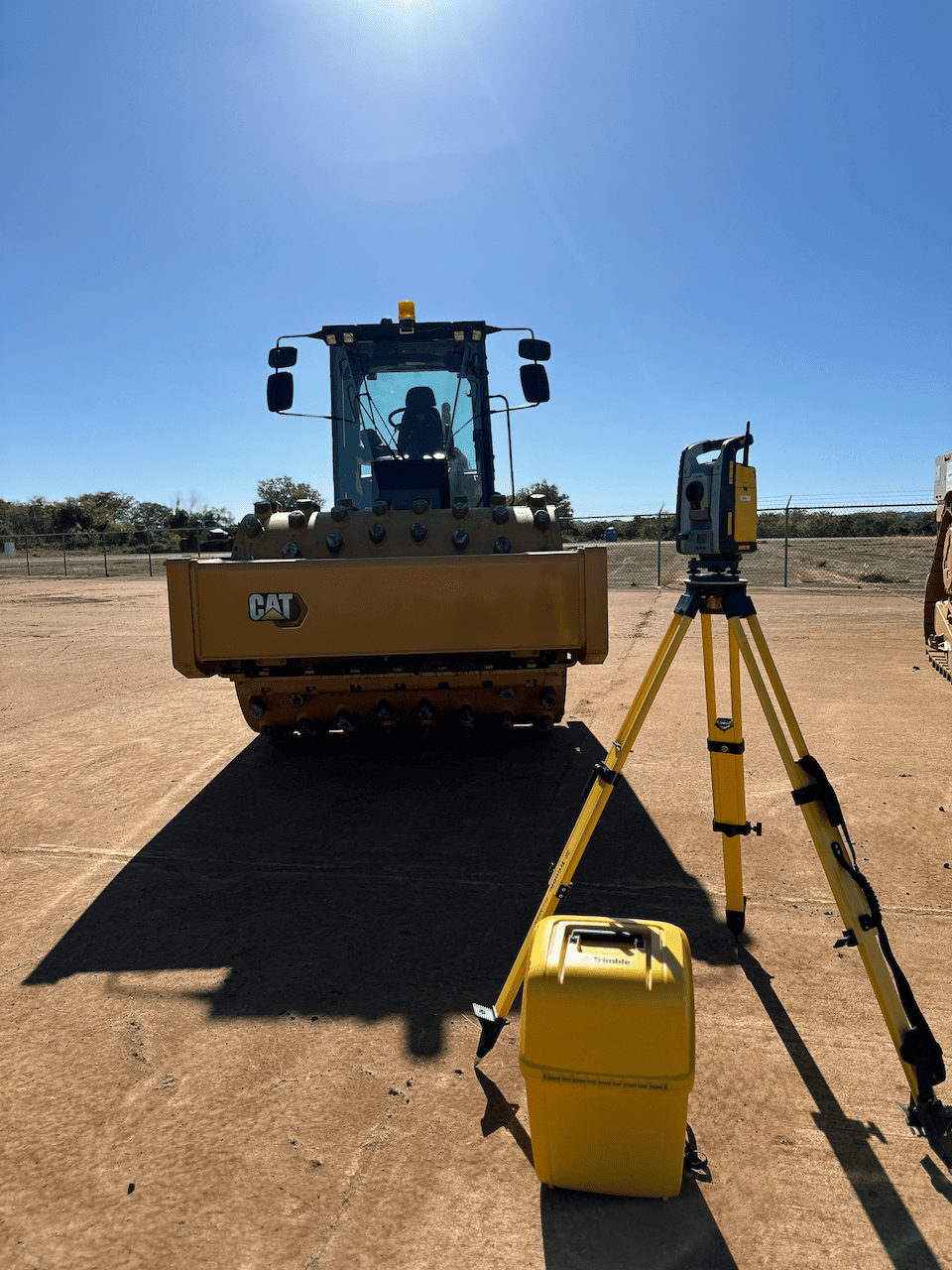
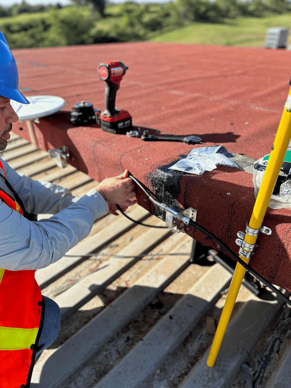
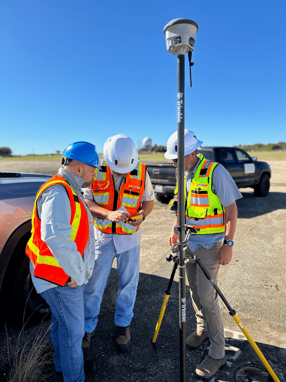
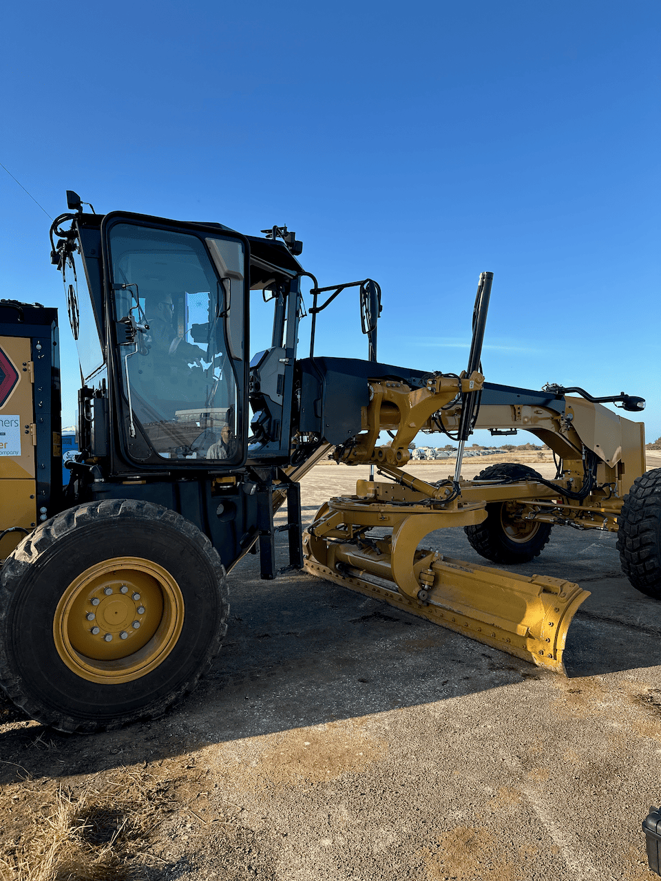
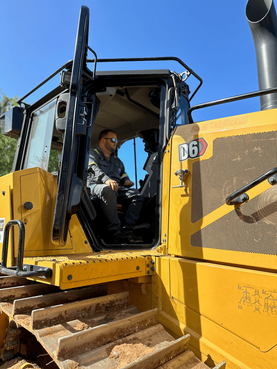
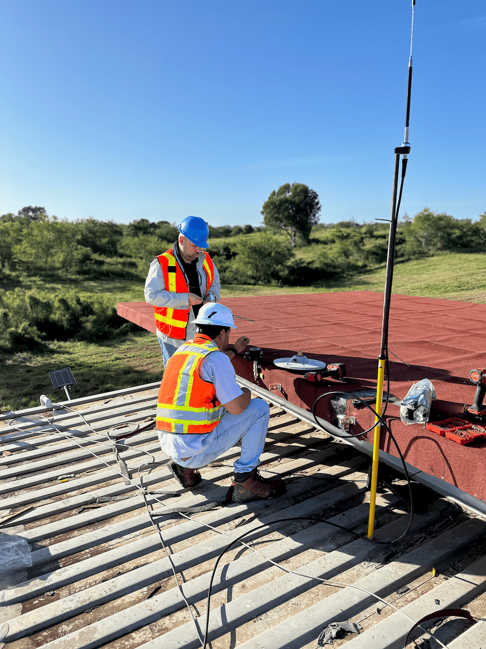
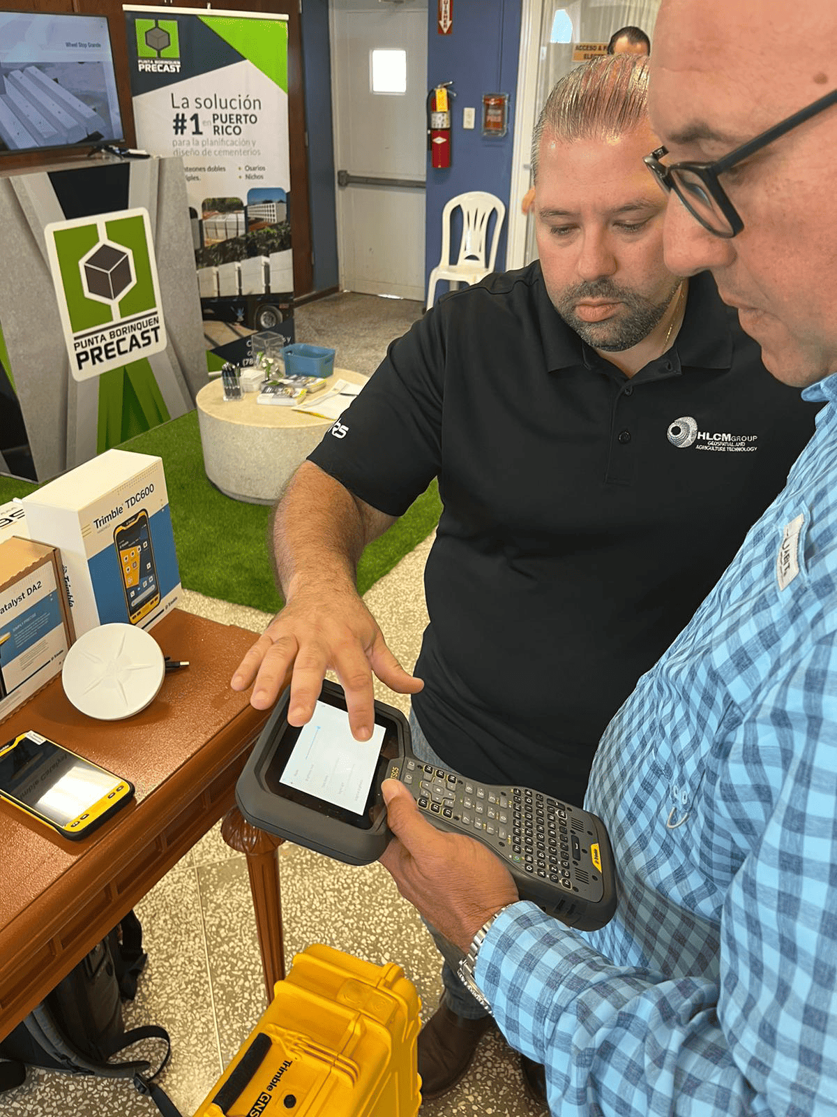
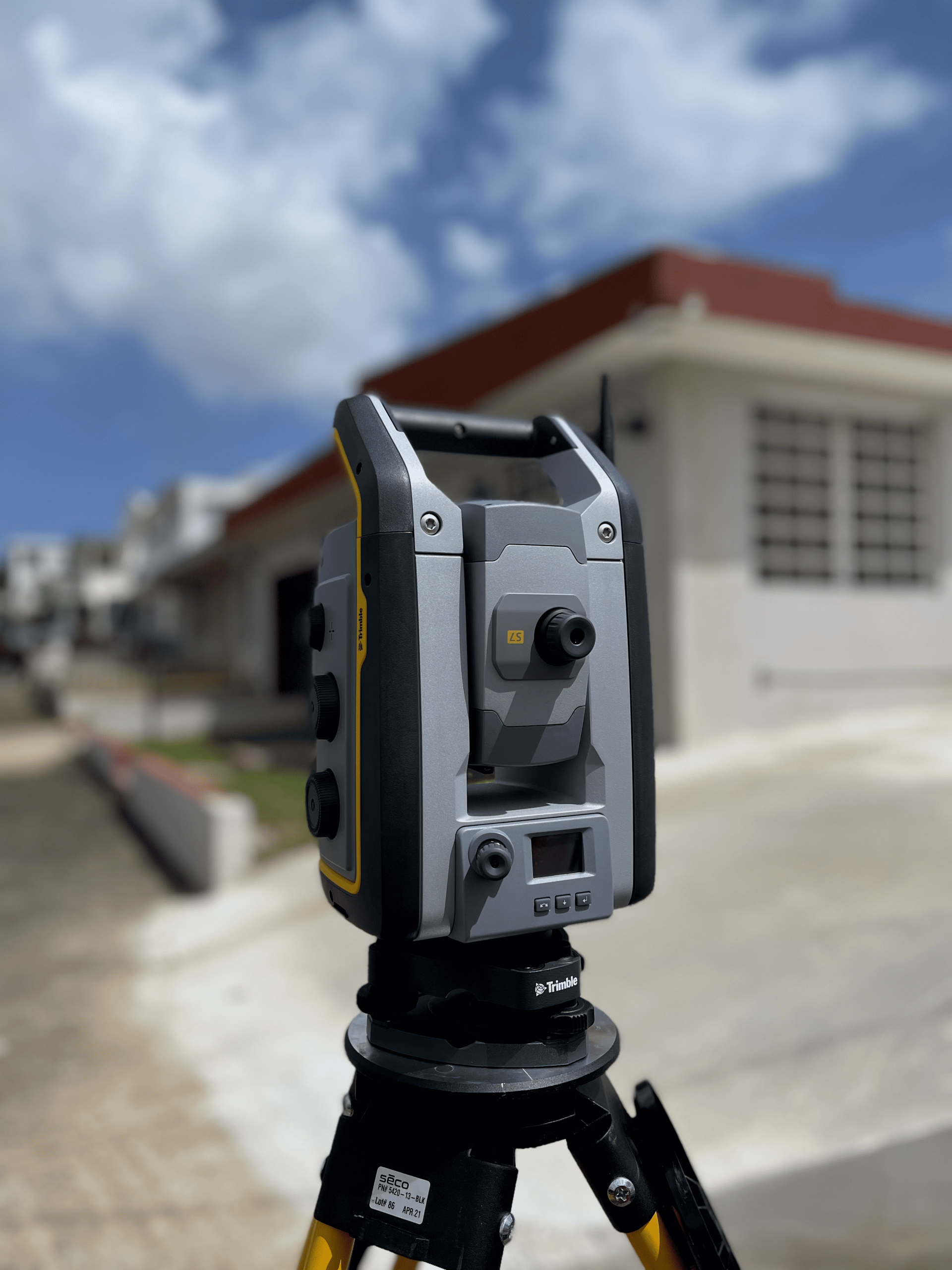
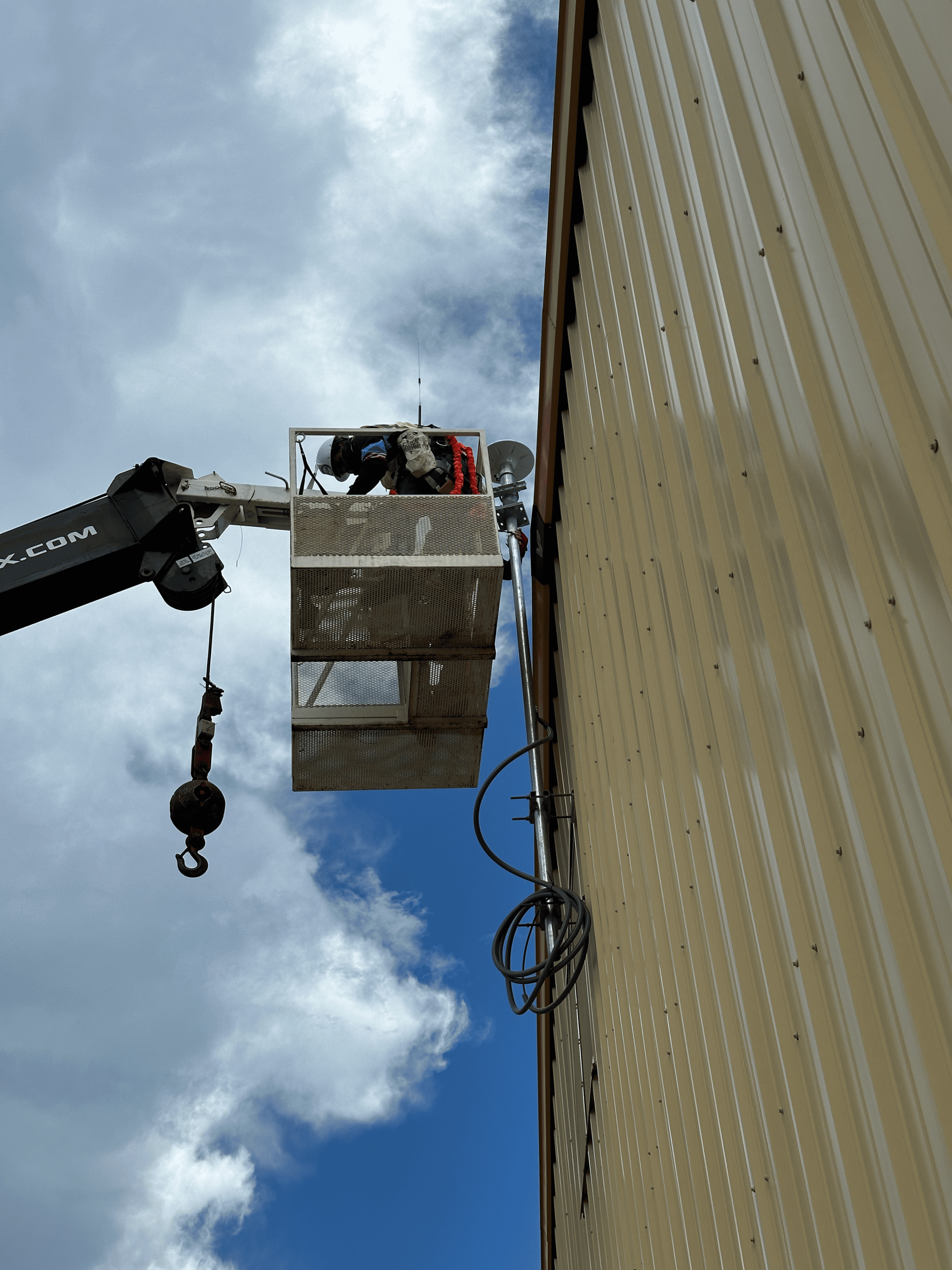
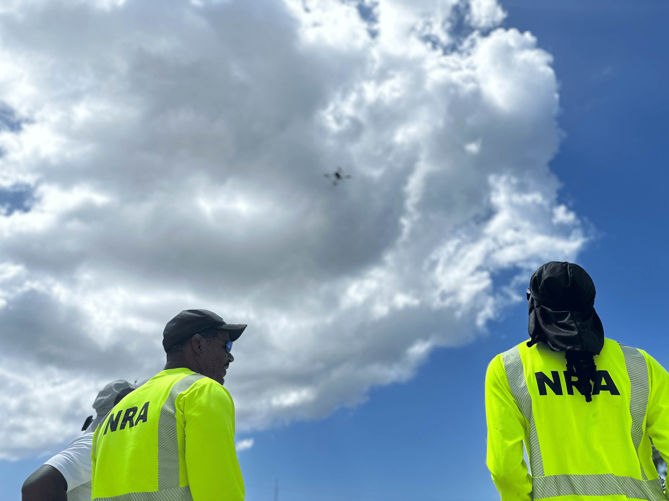
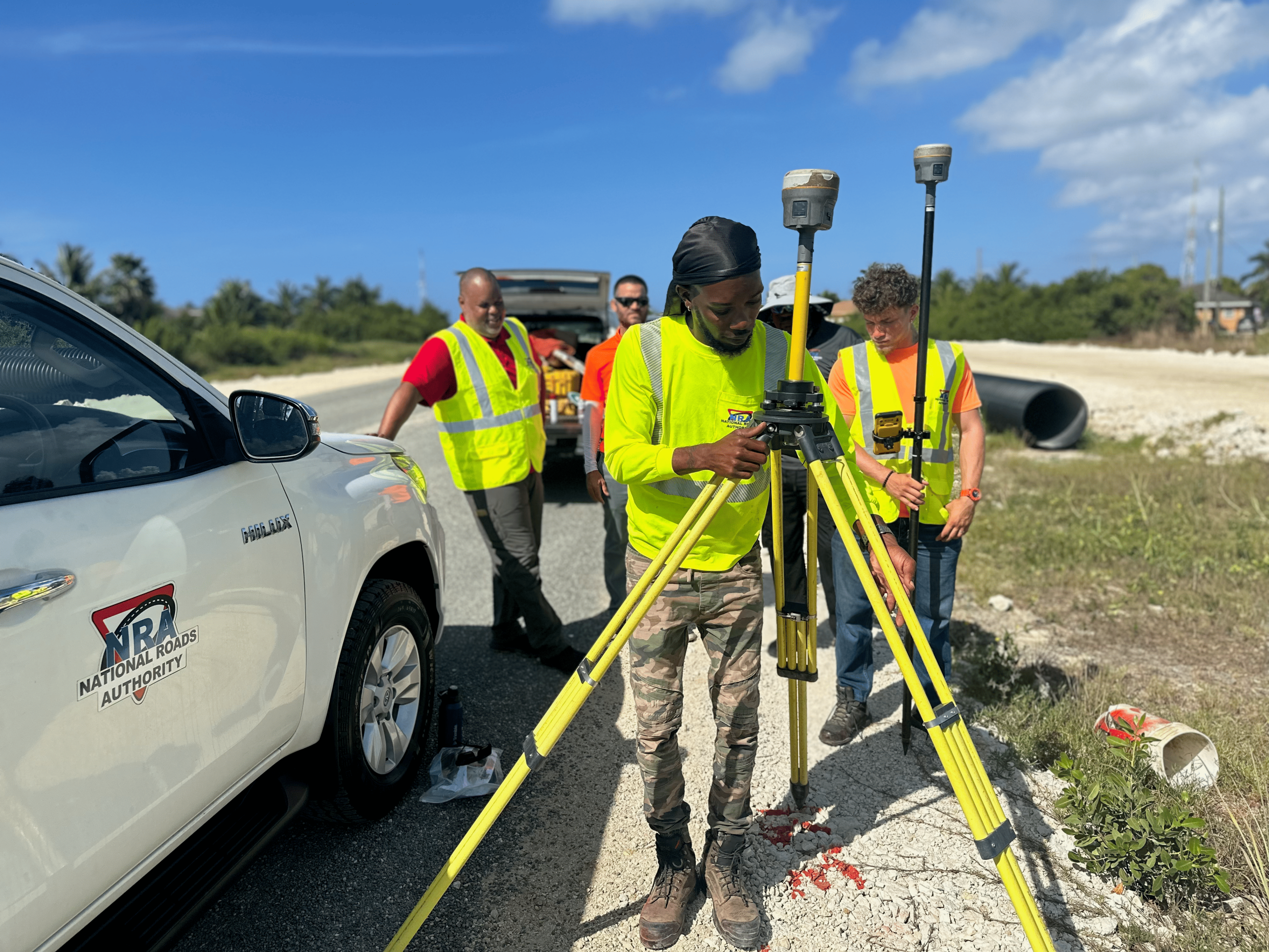
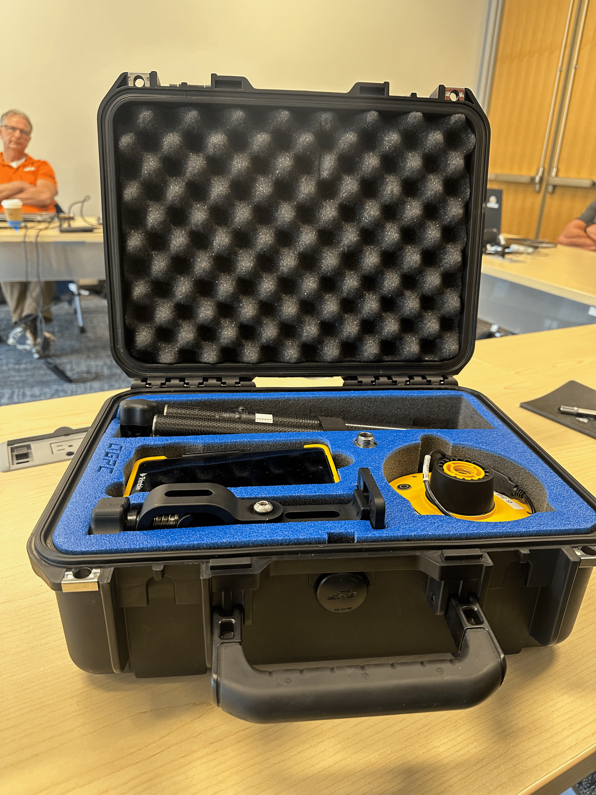
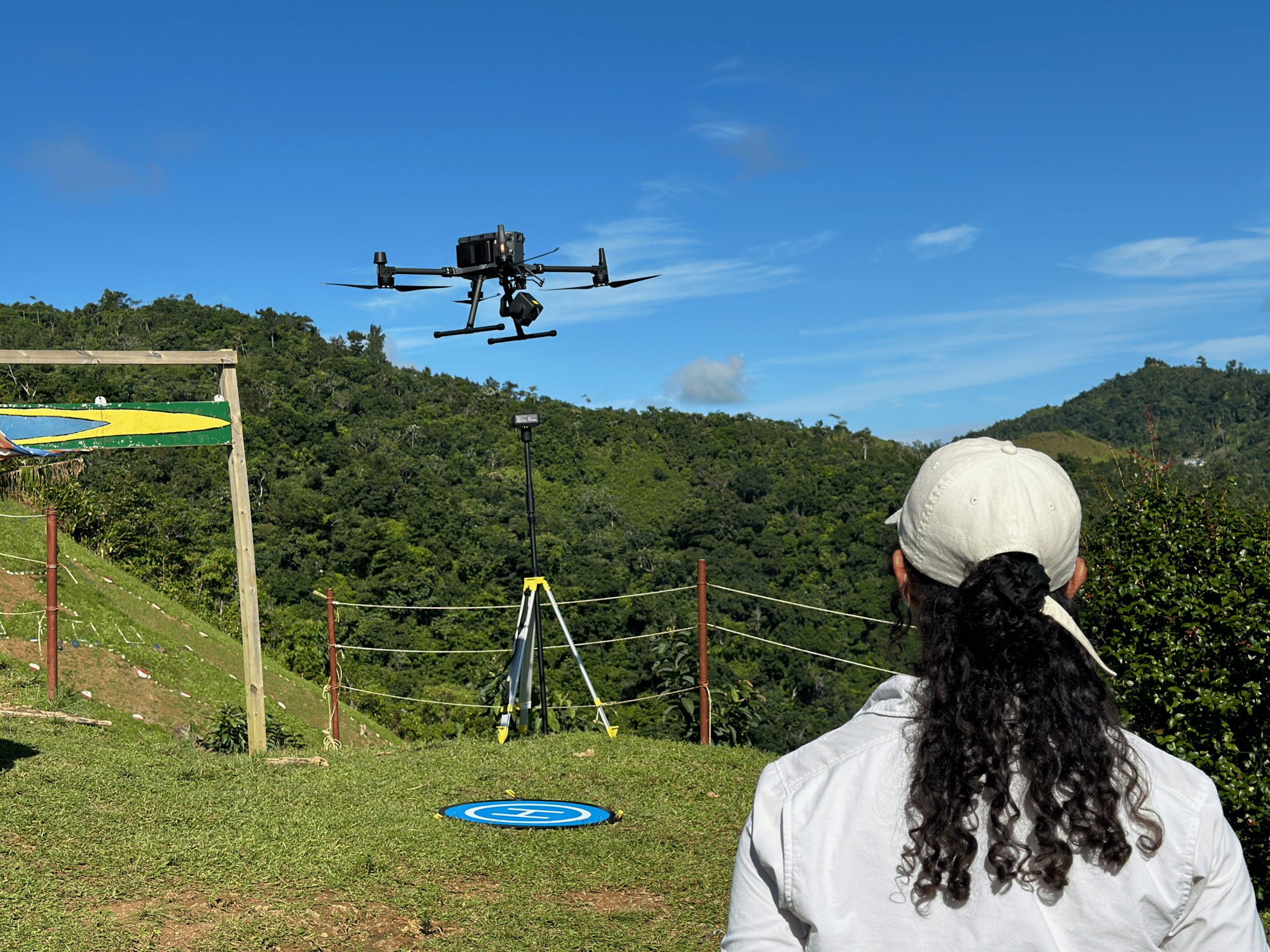
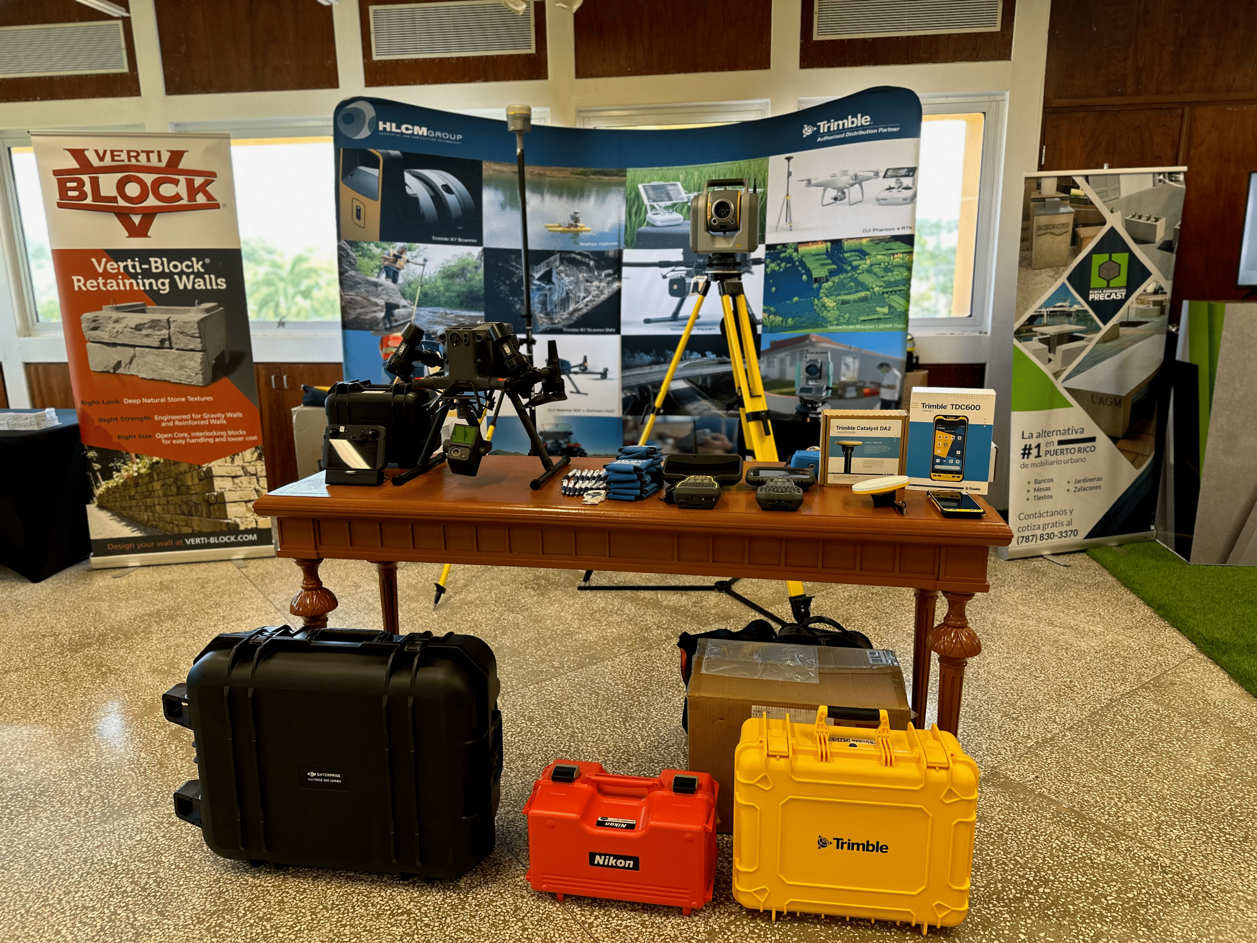
Photo gallery
Home
Gallery