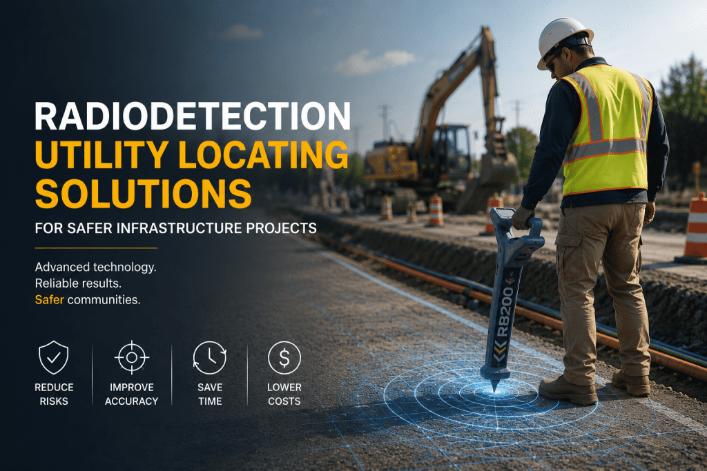
Radiodetection Utility Locating Solutions for Safer Infrastructure Projects
As infrastructure development continues to grow throughout Puerto Rico and the Caribbean, utility locating has become a critical part of safe and efficient project execution. Excavation without accurate underground utility detection can lead to service interruptions, project delays, costly repairs, and serious safety risks.
HLCM Group supports infrastructure professionals with advanced Radiodetection utility locating technologies designed to improve underground cable and pipe detection before excavation begins. These solutions help contractors, engineers, municipalities, and utility teams improve operational visibility and reduce avoidable underground damage.
Reducing Utility Strikes and Excavation Risk Across Puerto Rico and the Caribbean
Modern infrastructure projects require reliable underground utility locating workflows to minimize excavation hazards and improve operational efficiency. Using advanced cable locator and pipe locator technologies, organizations can strengthen project planning and reduce costly interruptions.
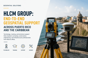
Through HLCM Group’s geospatial infrastructure expertise, field teams can integrate utility locating technologies into broader RTK positioning workflows, improving field precision and infrastructure coordination.
Benefits of Utility Locating Solutions
- Reduce underground utility strikes
- Improve excavation safety
- Prevent costly infrastructure damage
- Improve project timelines and efficiency
- Increase field team confidence
- Support safer construction environments
Advanced Underground Utility Detection with Radiodetection Technology
Radiodetection systems are designed to help organizations accurately detect buried utilities, including underground cables, pipelines, conduits, and critical infrastructure assets.
Organizations implementing underground utility detection solutions can improve excavation planning, strengthen damage prevention strategies, and support more efficient field operations.
Combined with HLCM Group’s geospatial product lines and infrastructure technologies, Radiodetection solutions become part of a larger ecosystem for precision mapping and operational intelligence.
Applications for Radiodetection Solutions
- Underground cable locating
- Pipe and conduit detection
- Utility strike prevention
- Construction safety workflows
- Infrastructure maintenance projects
- Utility mapping operations
Improving Infrastructure Visibility Through Geospatial Technologies
Accurate utility locating becomes even more powerful when integrated with advanced geospatial technologies such as Trimble GNSS systems, Pix4D reality capture solutions, and IDS GeoRadar technologies.
These integrated workflows help organizations improve infrastructure visibility, strengthen field data collection, and support smarter operational decision-making across Puerto Rico and the Caribbean.
Integrated Infrastructure Technologies
- GNSS positioning systems
- RTK correction networks
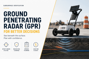
- Ground penetrating radar solutions
- Reality capture and photogrammetry
- Infrastructure mapping technologies
- Geospatial data management workflows
Book a Demo with HLCM Group
Discover how Radiodetection utility locating technologies can improve excavation safety, reduce operational risk, and optimize infrastructure workflows across Puerto Rico and the Caribbean.
Schedule Your Demo