Total Station vs. GNSS: Choosing the Right Technology for Every Surveying Project
Selecting the right surveying technology is one of the most important decisions for construction, engineering, and infrastructure projects. Choosing between a Total Station and a GNSS positioning system directly impacts project accuracy, field productivity, operational costs, and overall workflow efficiency.
At HLCM Group, we help organizations throughout Puerto Rico and the Caribbean evaluate project conditions and implement the most effective surveying technologies based on accuracy requirements, terrain, visibility, and operational objectives.
Understanding the Difference Between Total Stations and GNSS
Although both technologies are designed for precision surveying, they perform differently depending on project conditions.
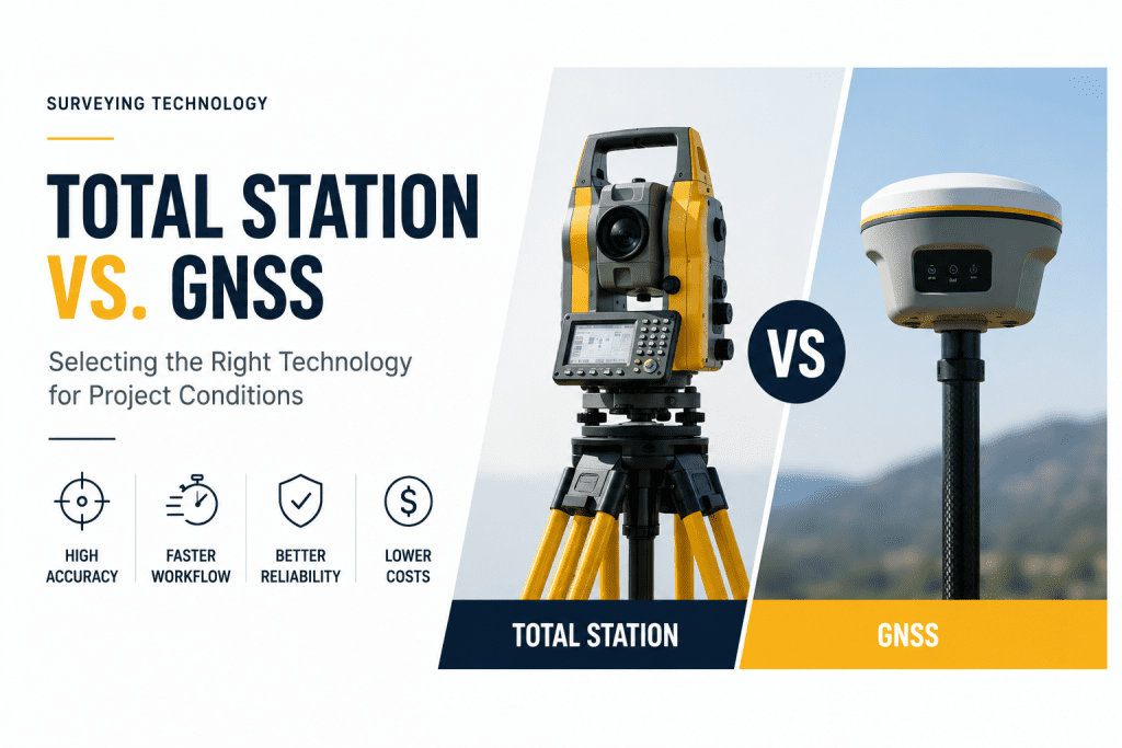
GNSS receivers provide fast positioning using satellite signals and are ideal for open environments where speed and efficiency are critical. In contrast, Total Stations rely on line-of-sight measurements, making them the preferred solution for projects requiring maximum precision or operating in obstructed environments.
Organizations often combine both technologies to maximize productivity while maintaining survey-grade accuracy throughout every phase of a project.
When GNSS Is the Best Choice
Modern GNSS surveying solutions are ideal for projects requiring rapid positioning across large areas.
- Large construction sites
- Road and highway surveying
- Land development projects
- Utility mapping
- Agricultural applications
- Topographic surveys
Integrated with VRS RTK correction services, GNSS technologies deliver centimeter-level positioning while reducing setup time and improving field productivity.
When a Total Station Is the Better Solution
Projects requiring maximum precision or operating in environments with limited satellite visibility benefit significantly from Total Station technology.
- Construction layout
- Building interiors
- Urban environments
- Industrial facilities
- Tunnel construction
- High-precision engineering projects
Modern Total Stations provide exceptional measurement accuracy and remain essential for controlled layout and engineering applications where line-of-sight measurements are required.
Combining GNSS and Total Stations for Maximum Productivity
Many organizations achieve the highest operational efficiency by integrating both technologies into a unified surveying workflow.
HLCM Group helps clients combine Trimble GNSS solutions, Spectra Geospatial technologies, and advanced surveying equipment to create workflows that improve productivity while maintaining exceptional accuracy.
- High-accuracy positioning
- Construction layout
- Engineering surveys
- Infrastructure development
- Utility projects
- Field-to-office integration
Choosing the Right Technology for Your Project
Every project presents unique operational challenges. Factors such as terrain, vegetation, urban density, visibility, accuracy requirements, and project timelines should all be considered before selecting surveying equipment.
Our specialists evaluate each workflow to recommend the most effective combination of GNSS receivers, Total Stations, RTK correction services, and geospatial technologies that align with your operational goals.
Talk to an HLCM Group Surveying Expert
Need help selecting the right surveying technology? Our specialists can help you evaluate your project requirements and recommend the most efficient combination of GNSS, Total Stations, and RTK solutions for your operation.