Trimble GNSS systems, RTK surveying equipment, mapping technologies, and geospatial solutions in Puerto Rico
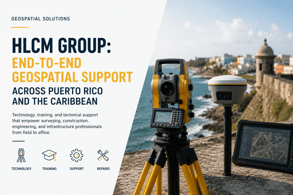
HLCM Group: Complete Geospatial Solutions Across Puerto Rico and the Caribbean Successful surveying, engineering, and infrastructure projects require more than advanced equipment—they require a trusted technology partner capable of supporting every stage of the workflow. From planning and field data collection to office processing, technical support, and long-term maintenance, organizations need solutions that improve productivity […]
Hydrographic Surveys with USVs: Safer and More Efficient Bathymetric Data Collection | HLCM Group
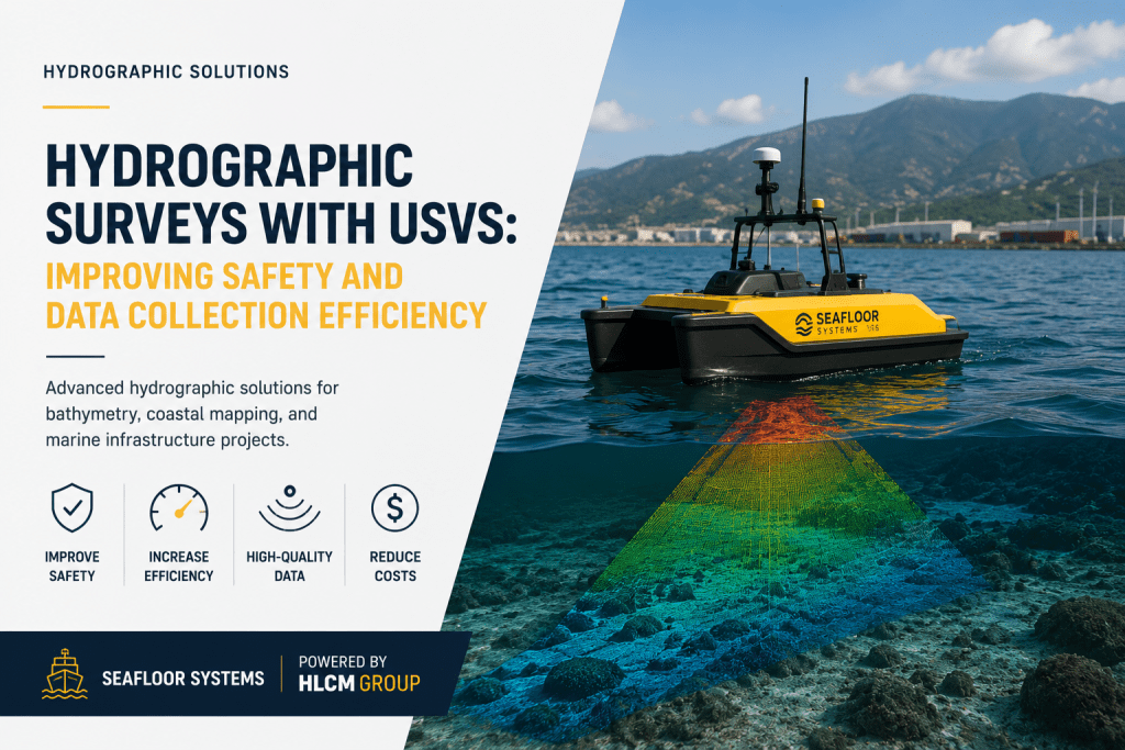
Hydrographic Surveys with USVs: Improving Safety and Data Collection Efficiency Hydrographic surveying continues to evolve as organizations seek safer, faster, and more efficient methods for collecting underwater spatial data. Traditional vessel-based surveys often involve higher operational costs, larger field crews, and increased safety risks when working in shallow waters, reservoirs, rivers, ports, and coastal environments. […]
Ground Penetrating Radar (GPR): Improving Subsurface Verification for Infrastructure Projects | HLCM Group
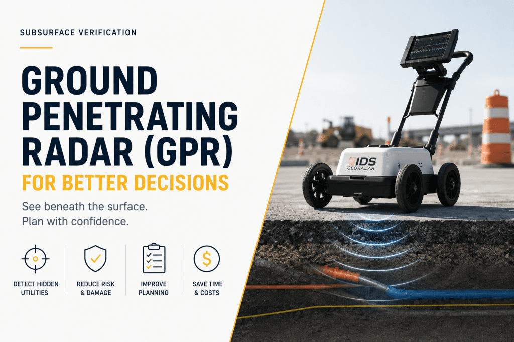
Ground Penetrating Radar (GPR): Improving Subsurface Verification for Smarter Infrastructure Projects Hidden underground conditions are one of the most common causes of project delays, unexpected costs, and construction risks. Without reliable subsurface information, excavation activities can damage buried infrastructure, interrupt essential services, and create costly project setbacks. Ground Penetrating Radar (GPR) provides a non-destructive method […]
Trimble Business Center (TBC): Transforming Survey Data into Accurate Project Deliverables | HLCM Group
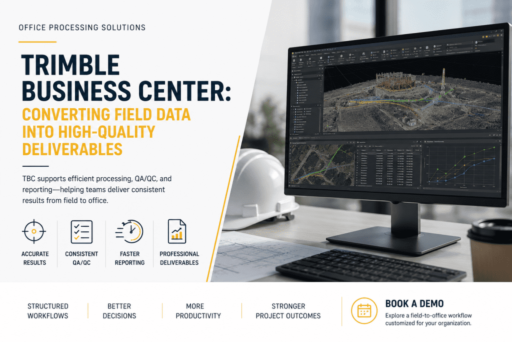
Trimble Business Center: Transforming Survey Data into Professional Project Deliverables Collecting accurate field data is only one part of a successful surveying project. Turning that information into reliable deliverables requires powerful office processing software capable of managing large datasets while maintaining quality, consistency, and efficiency. Trimble Business Center (TBC) is one of the industry’s most […]
Total Station vs. GNSS: Choosing the Right Surveying Technology | HLCM Group
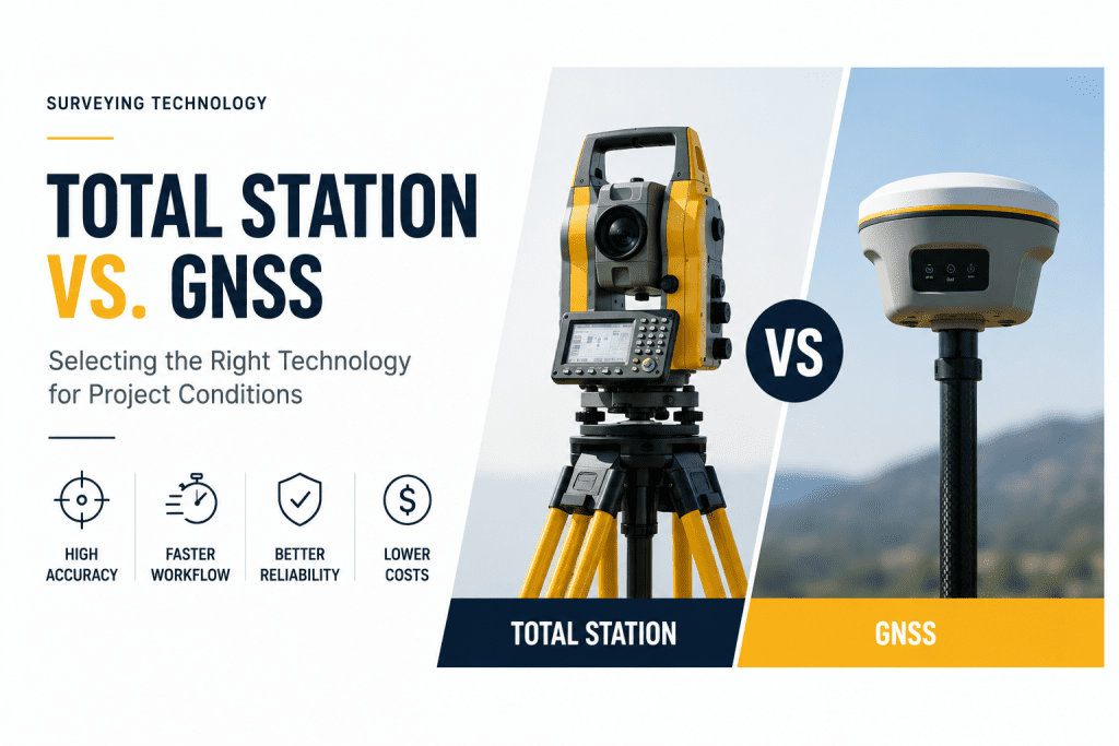
Total Station vs. GNSS: Choosing the Right Technology for Every Surveying Project Selecting the right surveying technology is one of the most important decisions for construction, engineering, and infrastructure projects. Choosing between a Total Station and a GNSS positioning system directly impacts project accuracy, field productivity, operational costs, and overall workflow efficiency. At HLCM Group, […]
Radiodetection Utility Locating: Improving Safety and Reducing Risk on Job Sites
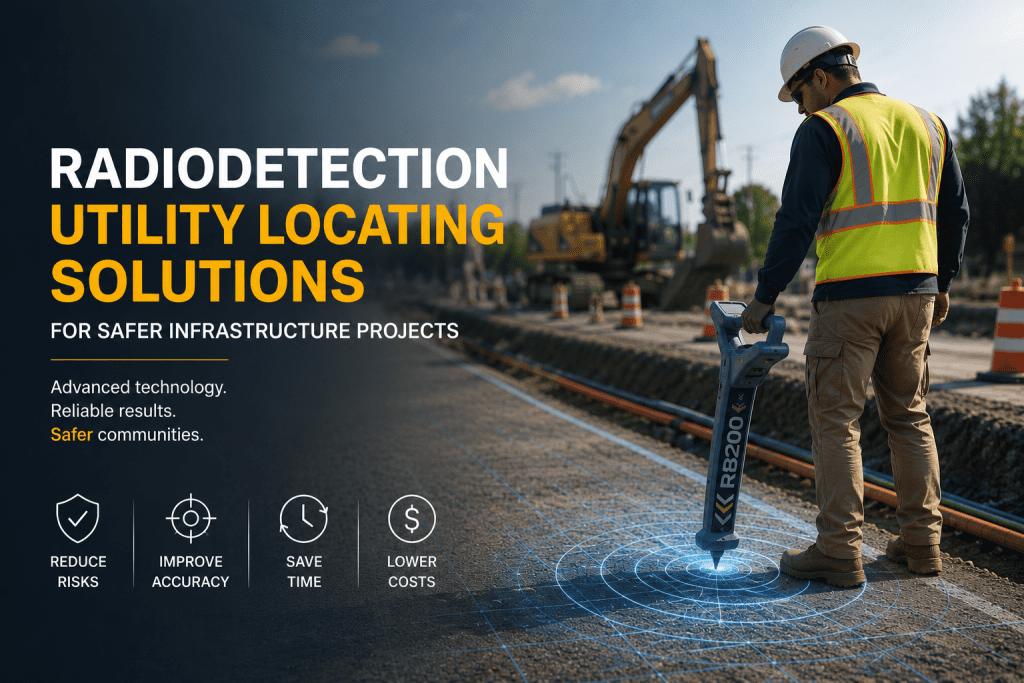
Radiodetection Utility Locating Solutions for Safer Infrastructure Projects As infrastructure development continues to grow throughout Puerto Rico and the Caribbean, utility locating has become a critical part of safe and efficient project execution. Excavation without accurate underground utility detection can lead to service interruptions, project delays, costly repairs, and serious safety risks. HLCM Group supports […]
Seafloor Systems Bathymetry & Hydrography Solutions | HLCM Group
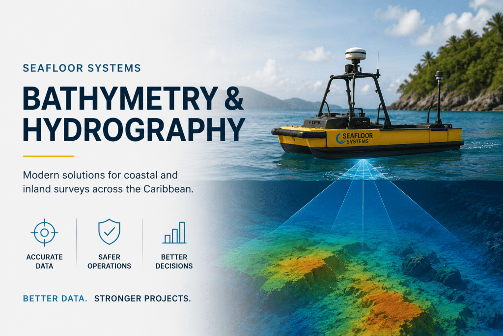
Seafloor Systems Bathymetry & Hydrography Solutions for Modern Marine Surveys As coastal infrastructure, environmental monitoring, and marine development projects continue expanding across Puerto Rico and the Caribbean, organizations require more advanced technologies to improve hydrographic accuracy, operational efficiency, and marine data collection workflows. HLCM Group supports modern hydrographic operations through its partnership with Seafloor Systems, […]
VRS RTK Corrections & High-Accuracy GNSS Workflows | HLCM Group
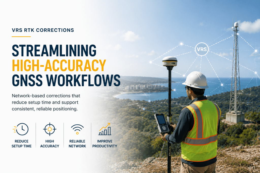
VRS RTK Corrections for Faster & More Accurate GNSS Workflows As surveying, construction, and infrastructure projects continue growing across Puerto Rico and the Caribbean, organizations require positioning technologies capable of delivering consistent accuracy while improving operational efficiency in the field. HLCM Group supports modern geospatial operations through advanced VRS RTK correction services designed to streamline […]
Trimble GNSS Accuracy & High-Performance Positioning | HLCM Group
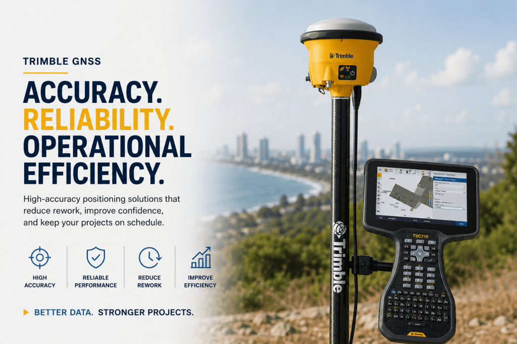
Trimble GNSS Solutions for Accurate & Reliable Field Operations Modern surveying and infrastructure projects require more than precision alone — they demand reliable positioning, operational efficiency, and consistent field performance across challenging environments. HLCM Group supports organizations across Puerto Rico and the Caribbean with advanced Trimble GNSS technologies designed to improve positioning accuracy, reduce costly […]
Bluelight Machines & Machine Autonomy Solutions | HLCM Group

Bluelight Machines & Machine Autonomy Solutions for Modern Field Operations As infrastructure and utility projects continue evolving across Puerto Rico and the Caribbean, organizations require more efficient technologies to improve operational performance, reduce downtime, and support faster project execution. HLCM Group expands its technology ecosystem through its partnership with Bluelight Machines, delivering advanced field productivity […]